Indian Geography MCQs with Answers for Competitive Exams | Important Questions with Detailed Explanations
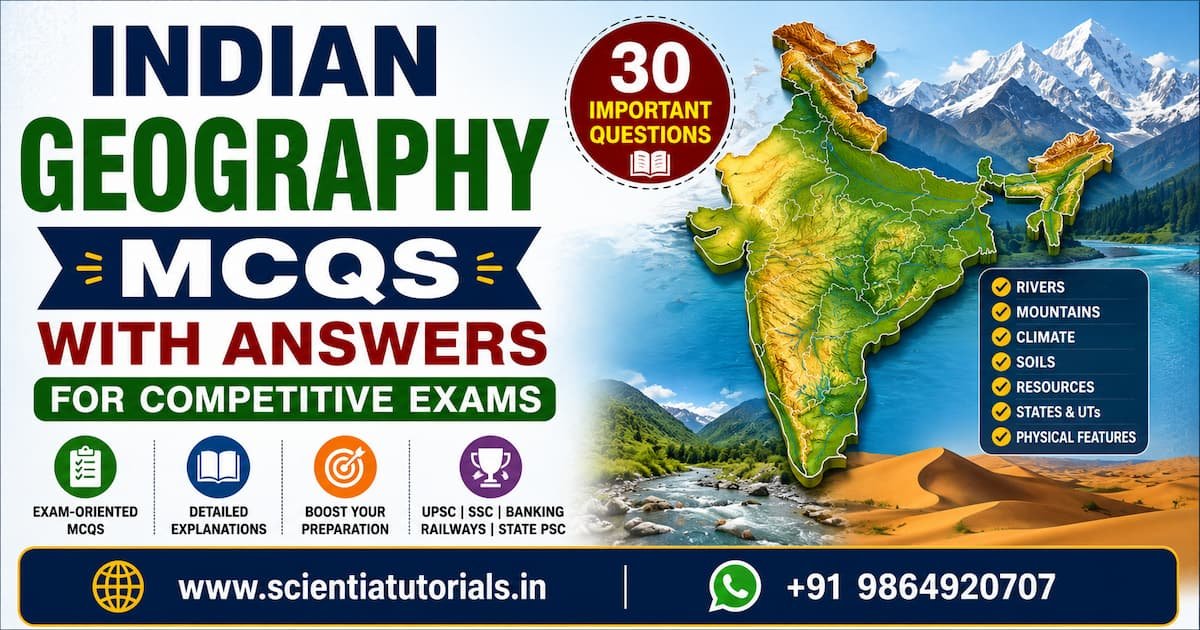
Indian Geography MCQs with Answers for Competitive Exams
These 30 Multiple Choice Questions (MCQs) are designed for UPSC, SSC, Banking, Railways, State PSC, CDS, NDA, CAPF, CUET, Teaching Exams, and other competitive examinations in India. Each question is accompanied by the correct answer and a detailed explanation to strengthen conceptual understanding.
1. Which is the southernmost point of the Indian mainland?
A. Indira Point
B. Kanyakumari (Cape Comorin)
C. Rameswaram
D. Minicoy Island
✅ Answer: B. Kanyakumari (Cape Comorin)
Explanation:
Kanyakumari, located in Tamil Nadu, is the southernmost point of the Indian mainland where the Arabian Sea, Bay of Bengal, and Indian Ocean meet.
- A. Indira Point – Incorrect. It is India’s southernmost point overall, located in the Andaman and Nicobar Islands.
- B. Kanyakumari – Correct.
- C. Rameswaram – Incorrect. It lies further north.
- D. Minicoy Island – Incorrect. It is part of Lakshadweep.
2. Which latitude passes almost through the middle of India?
A. Tropic of Cancer
B. Equator
C. Arctic Circle
D. Tropic of Capricorn
✅ Answer: A. Tropic of Cancer
Explanation:
The Tropic of Cancer (23°30′ N) passes through eight Indian states and nearly bisects the country into northern and southern halves.
- A. Correct
- B. Equator – South of India.
- C. Arctic Circle – Far north of India.
- D. Tropic of Capricorn – South of the Equator.
3. Which is the highest mountain peak in India?
A. Kanchenjunga
B. Nanda Devi
C. Kamet
D. Mount Everest
✅ Answer: A. Kanchenjunga
Explanation:
Kanchenjunga (8,586 m), located on the India–Nepal border, is the highest peak associated with India.
- A. Correct
- B. Nanda Devi – Highest peak entirely within India, but lower.
- C. Kamet – Lower than Nanda Devi.
- D. Mount Everest – Located on the Nepal–China border.
4. Which Himalayan range is the northernmost?
A. Himachal
B. Shiwalik
C. Himadri
D. Purvanchal
✅ Answer: C. Himadri
Explanation:
The Himadri (Greater Himalayas) is the highest and northernmost Himalayan range.
5. Which river is known as the ‘Dakshin Ganga’?
A. Krishna
B. Godavari
C. Cauvery
D. Narmada
✅ Answer: B. Godavari
Explanation:
Godavari is India’s second-longest river and is popularly called the Dakshin Ganga (Ganga of the South).
6. Which river originates from the Gangotri Glacier?
A. Yamuna
B. Alaknanda
C. Bhagirathi
D. Kosi
✅ Answer: C. Bhagirathi
Explanation:
The Bhagirathi River originates from the Gangotri Glacier at Gaumukh and joins the Alaknanda at Devprayag to form the Ganga.
7. Which river does not form a delta?
A. Godavari
B. Krishna
C. Narmada
D. Mahanadi
✅ Answer: C. Narmada
Explanation:
The Narmada flows westward into the Arabian Sea through an estuary instead of forming a delta.
8. The largest river basin in India is that of:
A. Godavari
B. Krishna
C. Ganga
D. Mahanadi
✅ Answer: C. Ganga
Explanation:
The Ganga Basin is the largest river basin in India and supports one of the world’s highest population densities.
9. Which is India’s largest freshwater lake?
A. Dal Lake
B. Wular Lake
C. Loktak Lake
D. Chilika Lake
✅ Answer: B. Wular Lake
Explanation:
Wular Lake in Jammu and Kashmir is India’s largest freshwater lake.
10. Which is India’s largest brackish water lagoon?
A. Loktak Lake
B. Sambhar Lake
C. Chilika Lake
D. Pulicat Lake
✅ Answer: C. Chilika Lake
Explanation:
Chilika Lake in Odisha is Asia’s largest brackish water lagoon and an important Ramsar site.
11. Which plateau is known as the ‘Mineral Heartland of India’?
A. Malwa Plateau
B. Chota Nagpur Plateau
C. Meghalaya Plateau
D. Deccan Plateau
✅ Answer: B. Chota Nagpur Plateau
Explanation:
The Chota Nagpur Plateau is rich in coal, iron ore, bauxite, mica, and other minerals.
12. Black soil is most suitable for the cultivation of:
A. Wheat
B. Rice
C. Cotton
D. Tea
✅ Answer: C. Cotton
Explanation:
Black (Regur) soil retains moisture and is ideal for cotton cultivation.
13. Red soil derives its colour mainly due to:
A. Lime
B. Iron oxide
C. Humus
D. Potash
✅ Answer: B. Iron oxide
Explanation:
Iron oxide imparts the characteristic red colour to red soils.
14. Which state is the largest producer of tea in India?
A. Kerala
B. Assam
C. Tamil Nadu
D. West Bengal
✅ Answer: B. Assam
Explanation:
Assam is India’s leading tea-producing state and is globally famous for Assam Tea.
15. Which state is the largest producer of coffee?
A. Karnataka
B. Kerala
C. Tamil Nadu
D. Andhra Pradesh
✅ Answer: A. Karnataka
Explanation:
Karnataka contributes more than two-thirds of India’s coffee production.
16. Which state is the largest producer of rice in India?
A. Punjab
B. West Bengal
C. Haryana
D. Odisha
✅ Answer: B. West Bengal
Explanation:
West Bengal consistently ranks first in rice production in India.
17. Which Indian state has the longest coastline?
A. Tamil Nadu
B. Gujarat
C. Maharashtra
D. Andhra Pradesh
✅ Answer: B. Gujarat
Explanation:
Gujarat has the longest coastline among Indian states, stretching over 1,600 km.
18. Which desert is located in India?
A. Sahara Desert
B. Gobi Desert
C. Thar Desert
D. Kalahari Desert
✅ Answer: C. Thar Desert
Explanation:
The Thar Desert extends across western Rajasthan into Pakistan.
19. Which Indian state receives the highest annual rainfall?
A. Assam
B. Kerala
C. Meghalaya
D. Sikkim
✅ Answer: C. Meghalaya
Explanation:
Mawsynram in Meghalaya records the highest average annual rainfall in the world.
20. Which monsoon brings most of India’s rainfall?
A. Northeast Monsoon
B. Southwest Monsoon
C. Winter Monsoon
D. Retreating Monsoon
✅ Answer: B. Southwest Monsoon
Explanation:
Nearly 75% of India’s annual rainfall is received from the Southwest Monsoon.
21. The retreating monsoon mainly affects which state?
A. Punjab
B. Rajasthan
C. Tamil Nadu
D. Himachal Pradesh
✅ Answer: C. Tamil Nadu
Explanation:
Tamil Nadu receives much of its rainfall from the Northeast (retreating) monsoon during October–December.
22. Which pass connects Srinagar with Leh?
A. Shipki La
B. Zoji La
C. Nathu La
D. Bomdi La
✅ Answer: B. Zoji La
Explanation:
Zoji La is a strategically important pass connecting the Kashmir Valley with Ladakh.
23. Which is India’s largest state by area?
A. Madhya Pradesh
B. Rajasthan
C. Maharashtra
D. Uttar Pradesh
✅ Answer: B. Rajasthan
Explanation:
Rajasthan is India’s largest state by geographical area.
24. Which is India’s most populous state?
A. Maharashtra
B. Bihar
C. Uttar Pradesh
D. West Bengal
✅ Answer: C. Uttar Pradesh
Explanation:
Uttar Pradesh has the highest population among Indian states.
25. Which is the smallest state in India by area?
A. Goa
B. Sikkim
C. Tripura
D. Mizoram
✅ Answer: A. Goa
Explanation:
Goa is India’s smallest state in terms of geographical area.
26. Which Union Territory comprises the Andaman and Nicobar Islands?
A. Lakshadweep
B. Puducherry
C. Andaman and Nicobar Islands
D. Chandigarh
✅ Answer: C. Andaman and Nicobar Islands
Explanation:
This Union Territory consists of more than 500 islands in the Bay of Bengal.
27. Which is India’s longest river flowing entirely within the country?
A. Ganga
B. Godavari
C. Yamuna
D. Krishna
✅ Answer: B. Godavari
Explanation:
The Godavari is the longest river whose entire course lies within India.
28. Which city is known as the ‘Gateway of South India’?
A. Hyderabad
B. Chennai
C. Bengaluru
D. Kochi
✅ Answer: B. Chennai
Explanation:
Chennai has historically served as an important port and entry point to southern India.
29. Which biosphere reserve is famous for the Asiatic Lion?
A. Nilgiri
B. Gulf of Mannar
C. Gir
D. Sundarbans
✅ Answer: C. Gir
Explanation:
Gir National Park in Gujarat is the only natural habitat of the Asiatic Lion.
30. Which Indian state shares the longest international border with Bangladesh?
A. Assam
B. Meghalaya
C. West Bengal
D. Tripura
✅ Answer: C. West Bengal
Explanation:
West Bengal shares the longest international border with Bangladesh, followed by Tripura, Meghalaya, Assam, and Mizoram.
- A. Assam – Shares a border, but not the longest.
- B. Meghalaya – Border is shorter than West Bengal’s.
- C. West Bengal – Correct.
- D. Tripura – Has a long border but shorter than West Bengal’s.
Quick Revision Facts
- Southernmost point of Indian mainland – Kanyakumari
- Southernmost point of India – Indira Point
- Tropic of Cancer passes through 8 Indian states
- Highest peak associated with India – Kanchenjunga
- Longest river basin – Ganga
- Longest river entirely in India – Godavari
- Largest freshwater lake – Wular Lake
- Largest brackish water lagoon – Chilika Lake
- Mineral Heartland – Chota Nagpur Plateau
- Largest tea producer – Assam
- Largest coffee producer – Karnataka
- Largest rice producer – West Bengal
- Longest coastline – Gujarat
- Largest state (area) – Rajasthan
- Most populous state – Uttar Pradesh
- Smallest state (area) – Goa
- Highest rainfall – Mawsynram, Meghalaya
- Southwest Monsoon brings most of India’s rainfall.
- Asiatic Lion habitat – Gir National Park, Gujarat
These 30 MCQs comprehensively cover India’s physical geography, rivers, climate, soils, agriculture, natural resources, states, and important geographical features, making them highly useful for UPSC, SSC, Banking, Railways, State PSC, CDS, NDA, CAPF, and other competitive examinations in India.